I came down with a bad Periodontal (upper gum) Infection and ended up staying at home for 3 days a couple weeks ago. On the last day the pain finally subsided and swelling around my upper gums had gone down considerably thanks to double doses of Amoxicillin 4 times a day and plenty of Vicodin on the first day! But I was board to tears by day 3, so I geared up and headed out.
I had always wanted to go up to the site of the Green River Ordinance plant near Amboy IL and explore a bit. It’s only about 20 miles from my house, but I’ve never had a chance to do it, so I figured now was as good as time as any. There have been rumors that there are still explosives stored in some of the bunkers. I doubt it, but my mom told me that one of the bunkers exploded back in the late 60’s/early 70’s. Obviously not everything was cleared out after it was closed, so who knows?
Here’s a link to some history about the facility:
http://www.lib.niu.edu/1995/ihy950468.html
Here’s a link to some EPA info about the site that’s also interesting:
http://www.epa.state.il.us/environmenta ... river.html
I stayed on blacktop county roads all the way up to Amboy, then headed west just south-west of town and back north on the next blacktop then back east on the next. To my left I was already seeing the munitions storage bunkers. I slowed as I went by the entrances, first one, locked with an obvious chain and padlock and marked “Private Property – Keep Out”, second entrance more of the same. So I headed north on the next blacktop and the next gate to my left was open with no “visible” signs so in I went. I stopped quickly to explore a couple bunkers and get a few pictures and then just road around a bit. The roads are paved but of course overgrown now and are more or less just 2-lane paths. I was actually expecting and hoping someone would stop me and tell me to get out, as I would have been interested in any information even how the site is being used currently. But, I never ran into a single person.
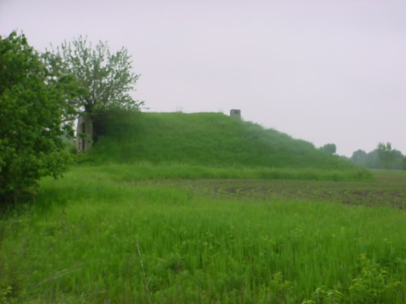
Typical Ammo bunker from the side:
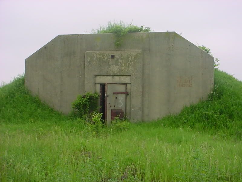
And from the front:
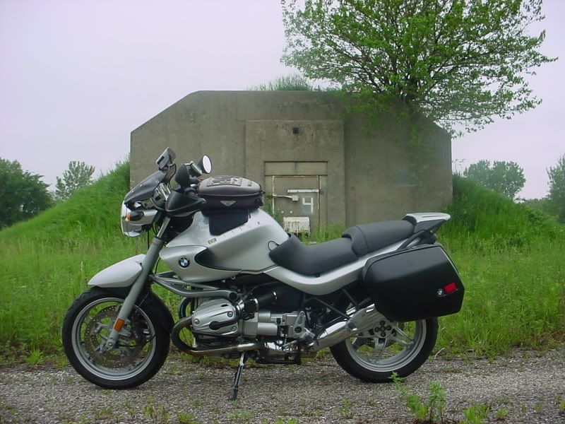
Obligatory bike shot: (to prove I was really there)
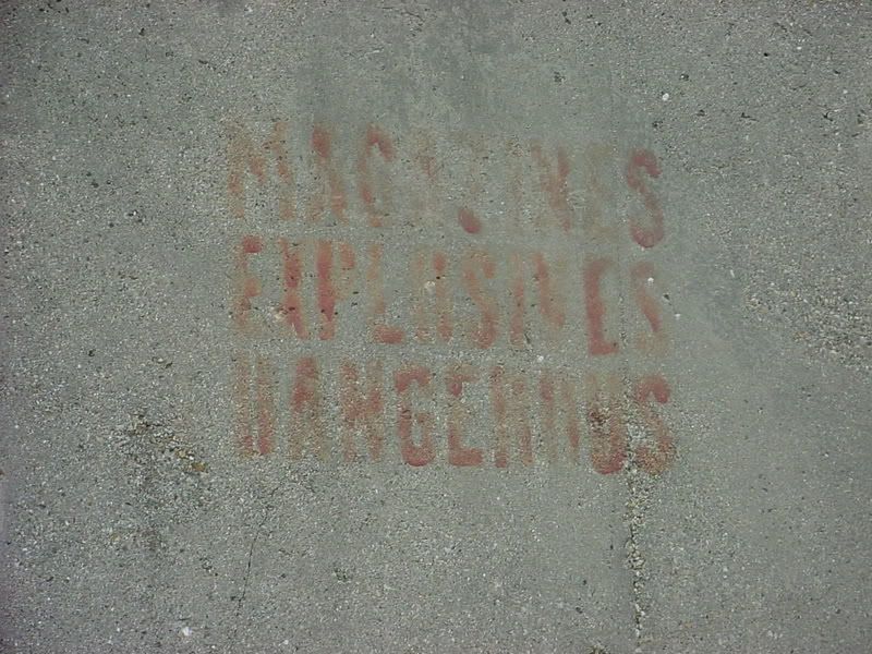
Painted on the bunker: (It says, “Magazines, Explosives, Dangerous”)
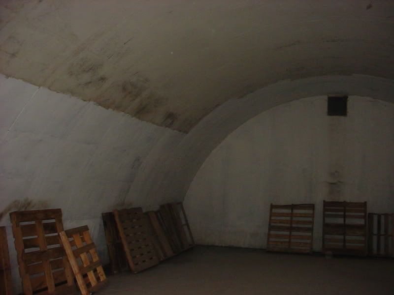
I stopped at one that was not locked, it was filled with junk, but the next one looked as though someone had recently painted some of it:
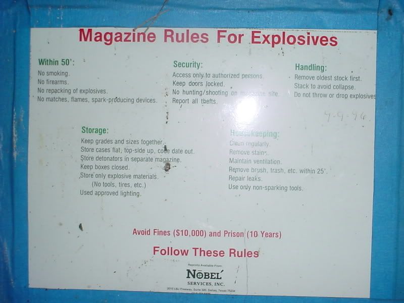
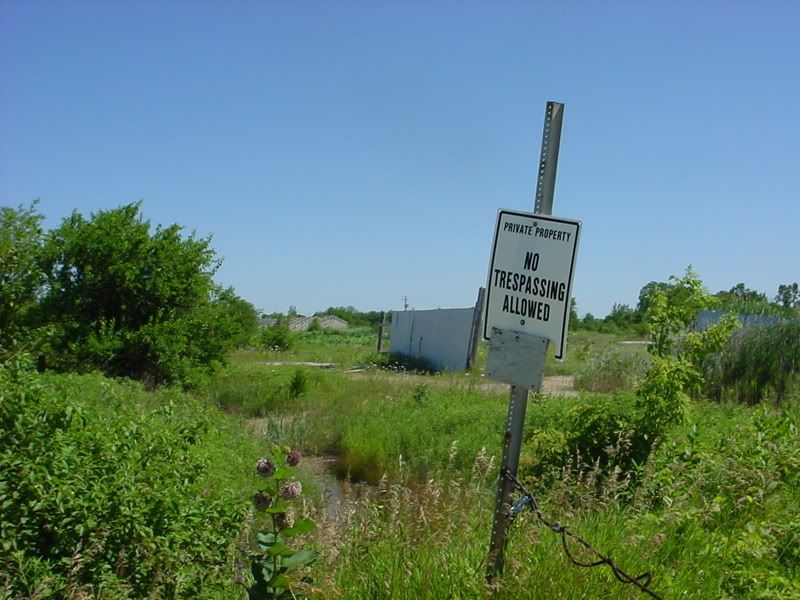
On the way out I noticed this Ordinance Safety sign. It seems pretty new to me so I figured Nobel’ Services Inc. was a company doing cleanup at the site at one time:
Next I headed north to see if I could get near the site of the main facility. But the roads are complete crap, full of pot holes, gravel patches and mud. We have had a lot of rain so I decided it wasn’t a good day to trust my luck.
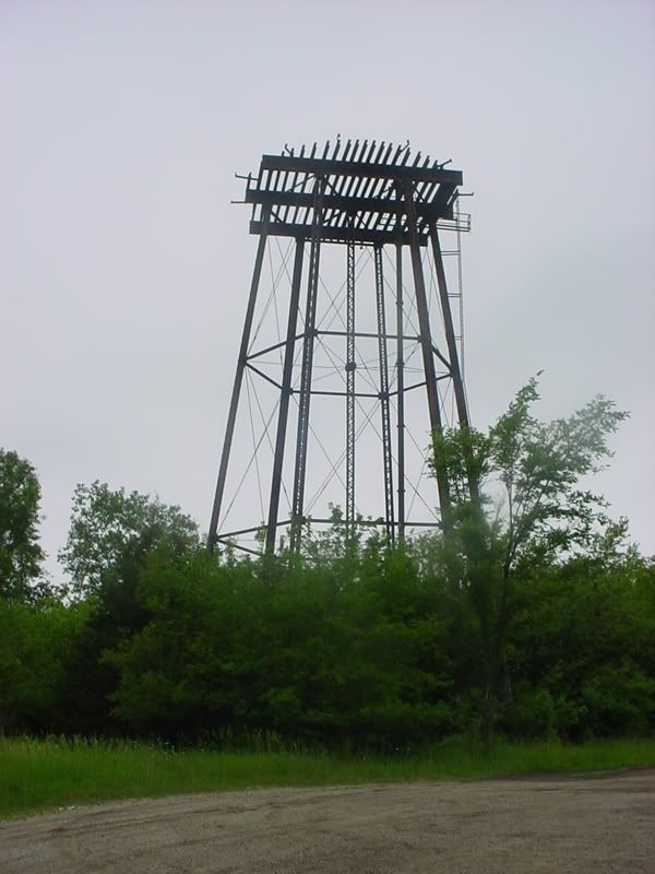
This is all that’s left of the main water tower:
There are several companies that occupy some of the original metal buildings on the site and I rode around viewing some of these but on the GPS I saw a cluster of three roads shaped like a squashed figure eight. Curiosity got the best of me so I headed up to the North East corner of the site. There was a sign that said Some Company Name with an arrow in the direction I wanted to go so again I was expecting to get a rather nasty greeting. It was creepy in this area, lots of junk cars and poorly kept buildings storing who knows what. I saw the business with the sign. The garage doors were open, and several new cars were parked outside, but I decided it didn’t really look too friendly and just kept going.
Now the road really turned to an overgrown 2-lane mud/gravel path with a lot of puddles. As I rounded the second curve I saw the show stopper; a huge puddle. At first I thought, “just go through it on the edge”, then my practical side took over and said “you idiot you really are trespassing, and if you get stuck, it could turn into a bad deal”. Again this area was really creepy and I decided I would rather not meet up with some individuals doing shady business and have to explain myself at gun or knife point. It was that creepy!
So I turned around, nearly got stuck doing it, but did get turned around, and headed back by the signed place of business. This time I actually saw someone in the building. They walked out into the road after I went by, but no one gave chase. Sigh of relief!
I’m planning a second trip to get some pictures of the original main building and the storage bunker area in the North West corner where there are about 15 roads of bunkers later on if it ever dries up. I’m also planning on stopping at the Amboy Library to see if they have any information.
Interesting history, but sadly there isn’t much information about the place. I would like to see an aerial photo or map of the facility in its day.
Part 2 (July 4th, 2008 – kind fitting that I’m visiting an old Ordinance site on the 4th huh?)
My son Shaun had skin graft surgery on his lower front teeth and had been taking it easy around the house for a couple days. He decided he wanted to go to Grandma and Grandpa’s for a change of pace. But I think it was mainly because he knew if he helped them, he could earn some money. So, I took the opportunity to revisit the Green River Ordinance site since I figured there would be no one around on a holiday.
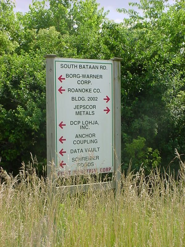
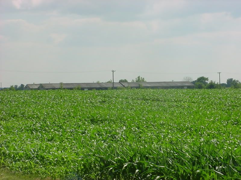
As I said previously, there are quite a few companies using the site and in some cases the original long metal out buildings.
Here is a sign listing some of those companies:
The metal storage buildings scattered around the site:
First I headed up to the Northwest corner to check out the 12-15 rows of storage bunkers. Like before the first gate was closed, but the second was open so in I went. After I got to the first intersection, the road turned to freshly graded gravel with fresh tire tracks. Hmmm? I headed back South on the first road and the very first bunker I came to had new “Danger Explosives!” signs. OK….these are in use! I followed the road to the end, took a right and then headed back North on the next road where I passed several trucks that belonged to a demolition company. I guess you couldn’t ask for a better place to store explosives than a bunker designed to do so. I decided if you’ve seen one bunker you’ve seen them all pretty much and I wanted to find the site of the main building so I headed out and back South on Red Brick Road to N/ Bataan Rd.
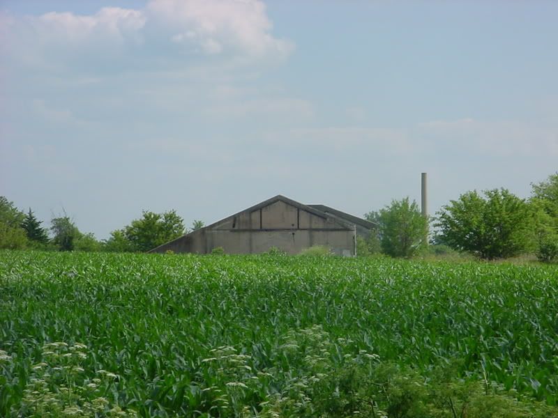
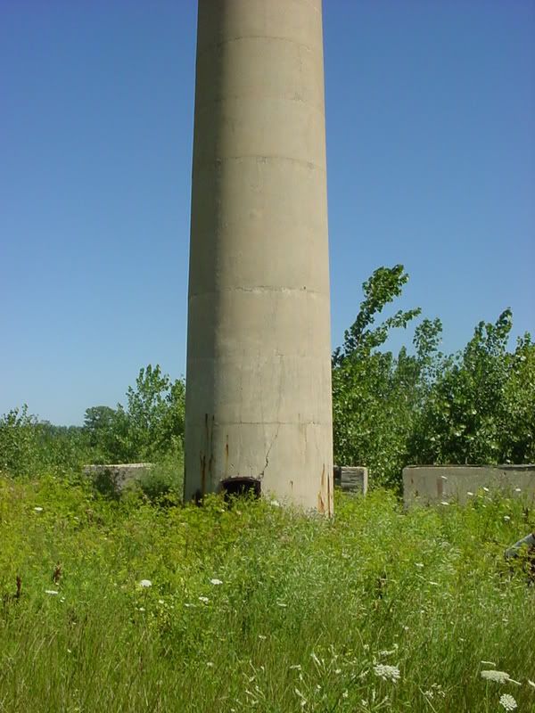
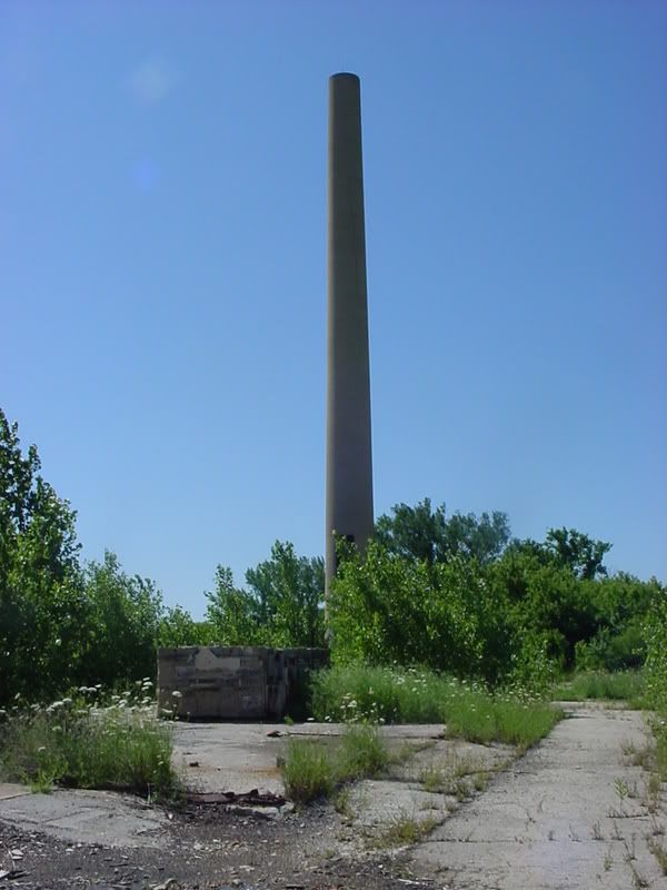
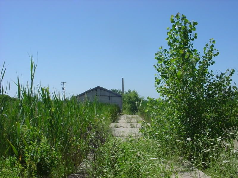
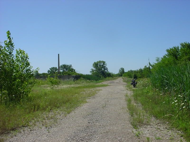
This smokestack peaked my interest:
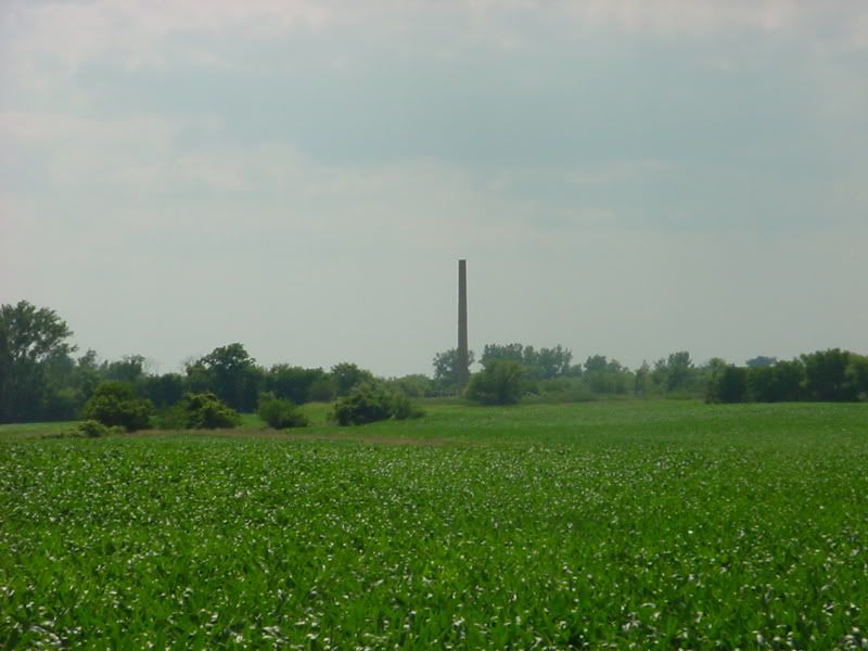
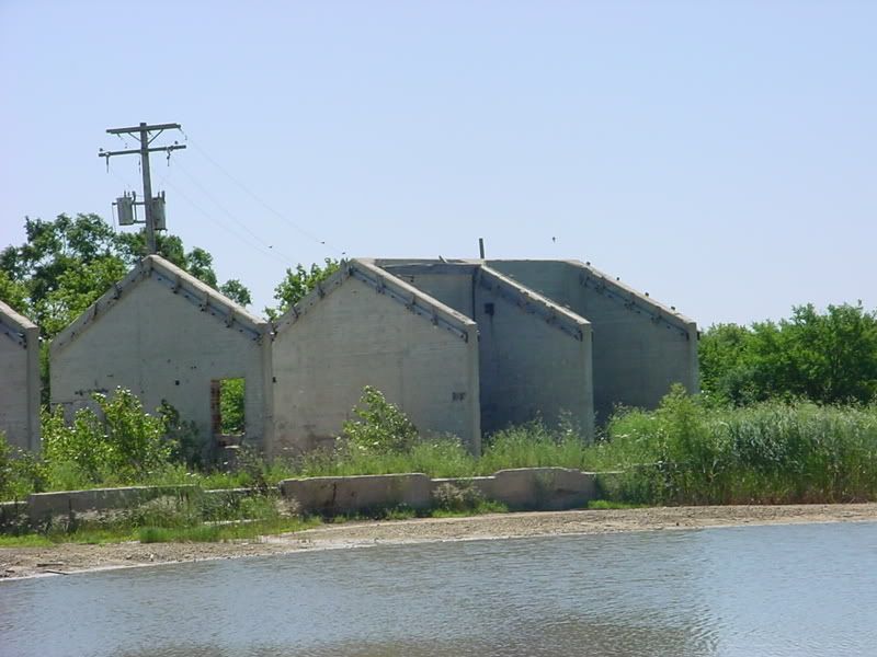
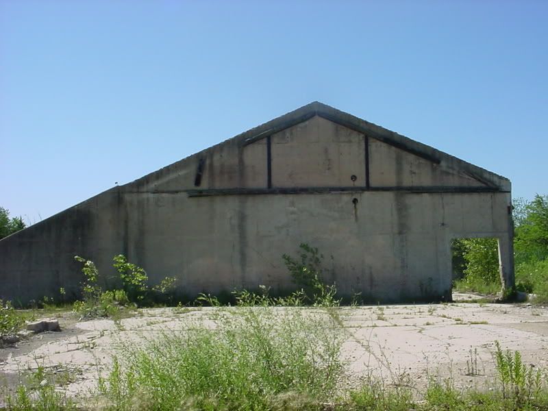
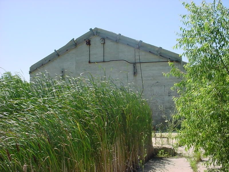
But a “Private Property – Keep Out” sign stopped me, well for a minute or so. Then the sight of tractor heading toward me forced me to turn around. Since I wanted to explore, I didn’t want a confrontation yet, so I went back South on Red Brick and noticing in my mirror that the tractor had turned North, I turned back west on South Bataan Rd to find what I believe is all that’s left of the main manufacturing building. Just guessing, I’d say the cement walls were placed every so many feet as fire breaks.
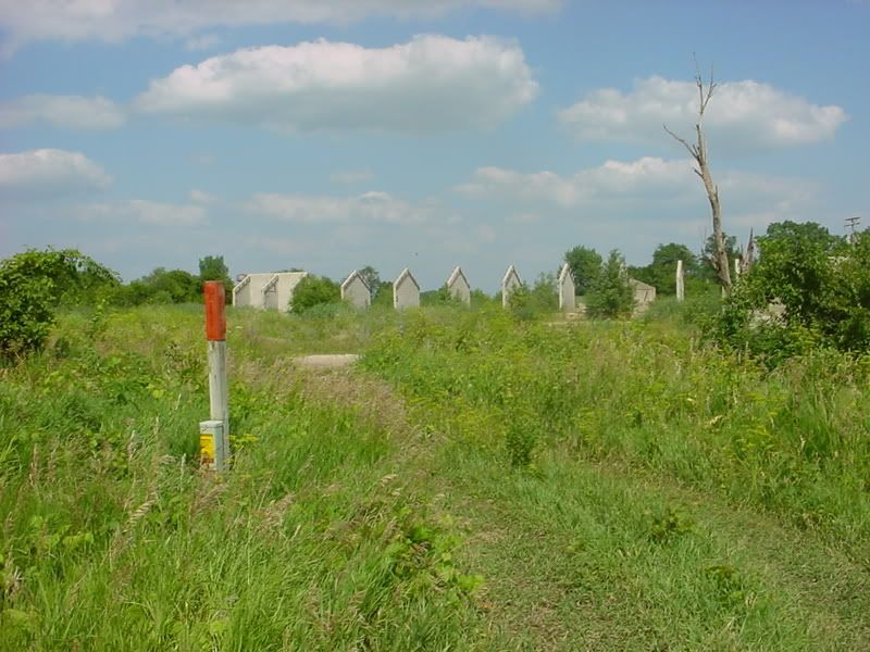
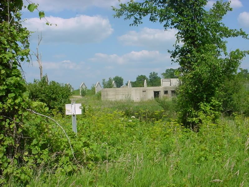
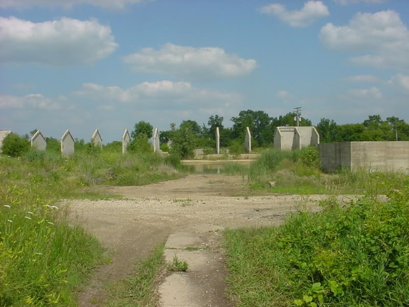
North end of the building (The stack in the distance gives you some idea how big this place was):
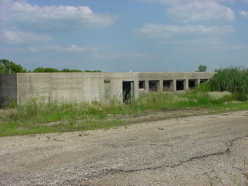
Not sure what these two half underground buildings were:
There is another smoke stack to the east of this site:
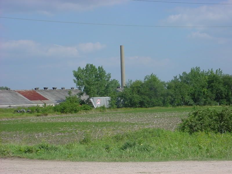
But it sits in the middle of a metal salvage yard and the gates are always locked with “No Trespassing” clearly posted at regular intervals. I wouldn’t ride in there even if the gates were open because of broken glass and scattered scrap metal that could cause a flat. I probably won’t hop the fence either; it just doesn’t look to safe in there. But, we’ll see, if I can find a less obvious way in than the main gates and a way to hide my bike but still be able to make a hasty retreat, I might try it.
At some point I will go back on a Sunday morning, when hopefully nobody’s around, and get some better pictures of this site. But this is all I had time for today and since I was already spotted in the area I didn’t think it was a good time to stay for very long.
Part 3 (July 13th, 2008 - A Sunday morning with nothing to do!)
Here we go again...I wanted to get a closer look and felt a little more confident since I knew a less conspicuous way in and where to go. As I arrived at the intersection of S. Bataan and Red Brick roads however, I saw a pink sign for an “Irish Camp-Out”. I’m not sure what that is, but I was thinking that it could be both good and bad for me since there could potentially mean more people in the area. I pulled into the first driveway anyway which is roped off and marked:
But I hopped the rope and went in anyway to get some closer pictures.
Bottom of the stack:
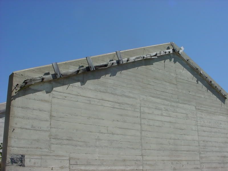
All that’s left of some wooden roofing:
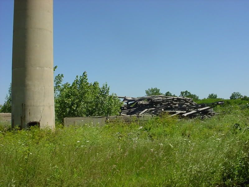
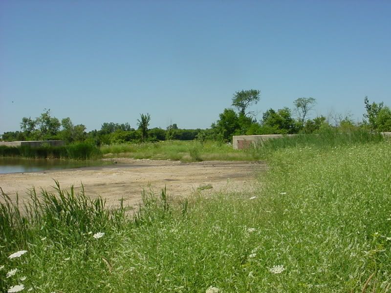
Cement slab that reaches all the way to the wall in the distance (This was big!)
View of the stack from the slab:
Then I went north a little further on W. Bataan Rd. to where I took pictures from last time. Vehicles have been going in and out here though it’s clearly not a driveway. A trail through the grass and up onto a cement pad is a better description. I rode the R right in, turned around in the road that still runs around most of the perimeter and parked behind the tree line of the road for a fast exit should I need it.
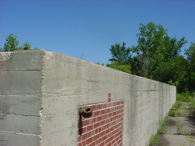
It looked like the two half underground buildings had a wood structure above judging by the fittings on top. Some modifications had been done. This brick work looks much newer:
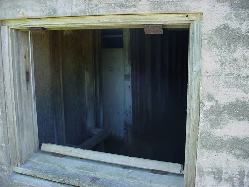
A look into the structure showed it was flooded, half full of water with wooden partitions, probably showers or bathrooms:
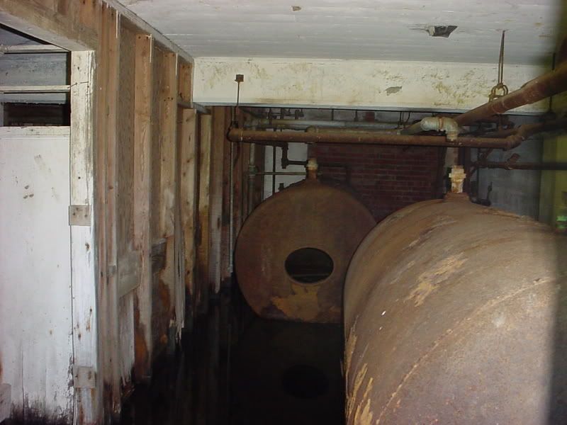
Hot water heaters or holding tanks?
View from the half underground building to the main building (Interesting that the power pole and transformers are fairly new):
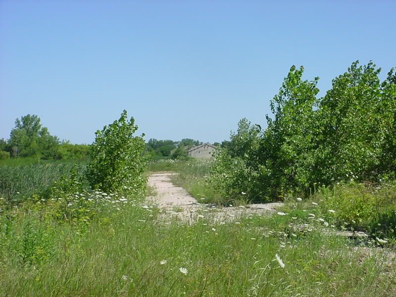
A sidewalk to the main building:
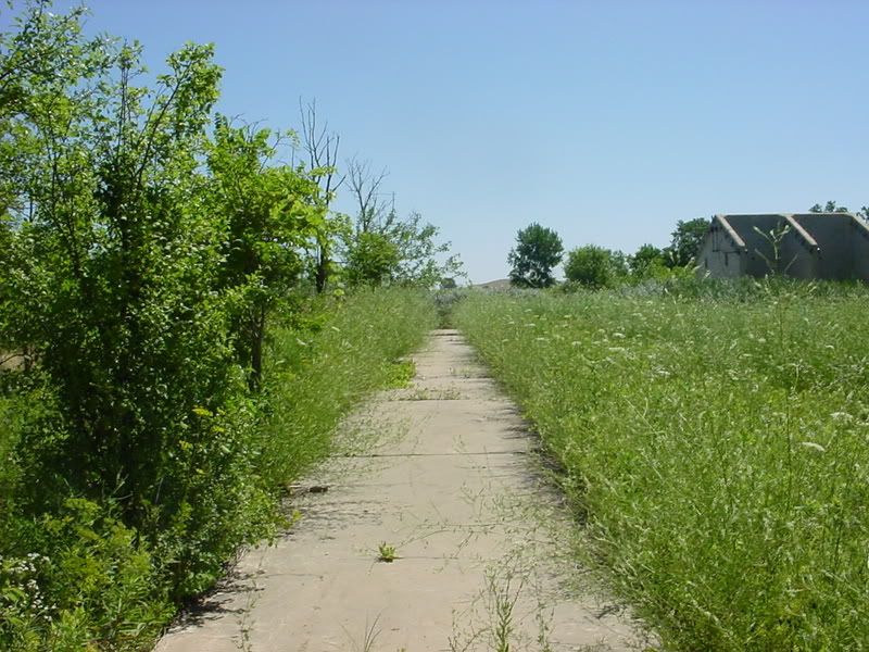
End of the sidewalk looking north:
Remaining wood roof structure, wonder if it was Asbestos lined for fire proofing:
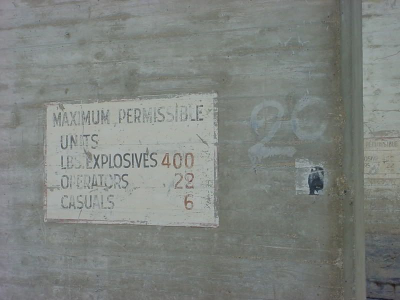
There was one of these signs inside each cement area:
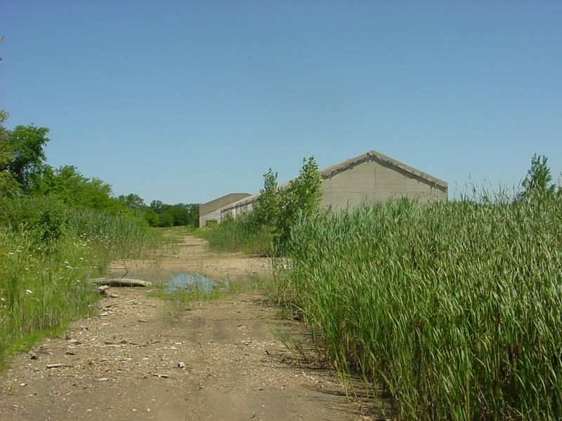
Another sidewalk:
North end:
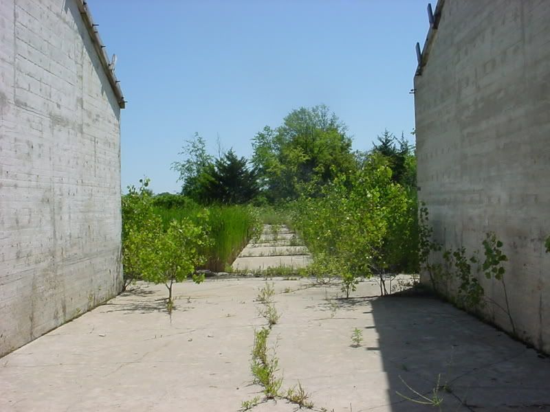
View from south end of the looking south (gives you an idea how ling this structure used to be – the cement slabs go all the way to the stack):
View of the south portion of the main building, I didn’t venture in to that one, by wife called me on my cell right about then to let me know we had a sitter for the rest of the day so we could go for a ride. (Yeah, I’m in the middle of “Private Property – Keep Out” and my cell phones ringing – cool!)
A view back to the half underground building (If you look real close you can see the R shining in the sun at the corner of the building):
The perimeter road and my waiting & hiding R:
Well that’s it unless I get real brave or make a trip to the Amboy Library.
Here is some more info I found on the web about the place: http://genealogytrails.com/ill/lee/groc1.html
One more note: The caption under the first picture on the IEPA site I posted at the very beginning says:
“A Green River Ordnance Plant employee from the 1940's fills 155mm artillery projectiles with molten explosive.”
Molten Explosive – Now there are two words that shouldn’t be used together! Consider this a big salute to all who worked at these places.